Spring Avalanche Awareness from Chugach Avalanche Center
Hey everyone! This month’s blog comes from the folks over at the Chugach National Forest Avalanche Information Center. You can view the recent Observations and reports from Manitoba here. Get the forecast!
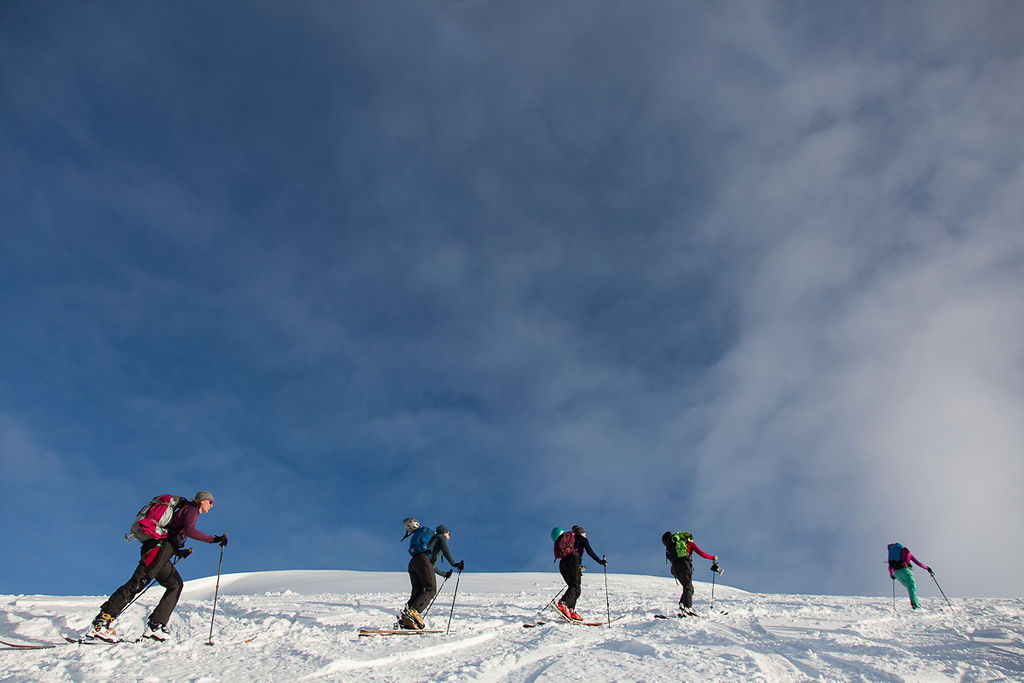
Photo- Mollie Foster
We have reached the time of year where the snow is starting to make the transition from a dry, winter snowpack to a wet springtime pack. A series of storms over the second half of March into the beginning of April has led to a gradual transition so far. However, with 13.5 hours of sun as of April 1, and over 16 hours of daylight by the end of the month, the switch tends to flip abruptly when the skies clear. Here are a few things to keep in mind as we head into springtime:
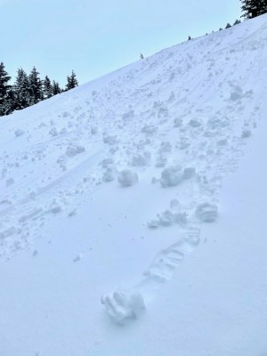
Rollerballs Photo: CNFAIC
Weather: Some rules of thumb stay the same from winter to spring. Whenever we see active weather, anticipate an increase in avalanche danger. This can mean snow, wind, rain, or warming. The snowpack does not like rapid changes, and we are in a time of year that is prone to just that. Rain on snow is especially dangerous since it adds weight to the snowpack while at the same time decreasing the strength by melting existing bonds.
Loose Wet Avalanches: These are the first avalanches we see as the snowpack heats up. They can be triggered by snow heating up and falling off trees, rocks, cornices, or steep slopes. While they are typically relatively small and manageable on their own, they can be dangerous if they pick up enough volume, or if they push you into terrain traps like gullies, cliffs, trees, or rocks. They can also trigger larger slab avalanches as they travel downhill. They are typically preceded by rollerballs or pinwheels rolling down slopes as they heat up.
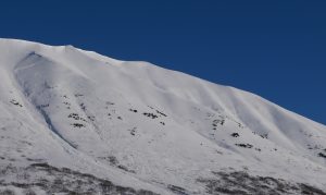
Photo: CNFAIC
Wet Slab Avalanches: Once the snow heats up a little more, we can expect to see larger and more dangerous wet slab avalanches. With the current setup of weak snow near the base of the snowpack, these have the potential to be very large this year. They are more challenging to predict, but tend to occur during the first few consecutive days without an overnight refreeze.
Safe Travel Protocol: The weather is (hopefully) getting more mild, but that is no excuse for slacking on safe travel protocol. As always, carry the required rescue gear (avalanche transceiver, shovel, probe), and only expose one person at a time to avalanche terrain.
-Andrew Shauer, CNFAIC Forecaster